
In the Raleigh, NC area? Contact us today for surveying services.
Land Surveying Services
Providing quality, professional work with a quick turnaround and reasonable rates.
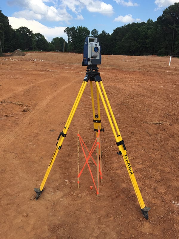
Construction Staking
Boundaries, erosion, topo’s, grade staking, structures & utilities, buildings, trails, sidewalks, curbs, pavement, and final as-builts.
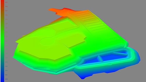
3D Modeling
3D models for Topcon, Leica, and Trimble, including: surface finish grade, mass grading, erosion controls, and pipe networks.
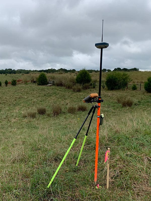
GPS Control Files
Increase efficiency and productivity by utilizing GPS Control files. Our team spends less hours on site and saves you money.
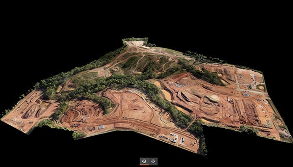
Drone Topo's
Drone topo services include CAD and photo deliverables plus an online cloud platform for further analysis of the construction site.