1
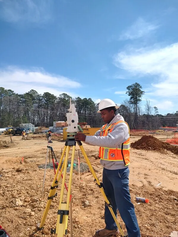
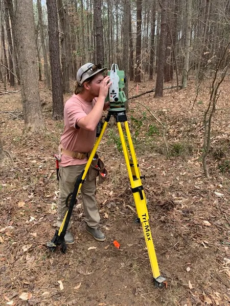
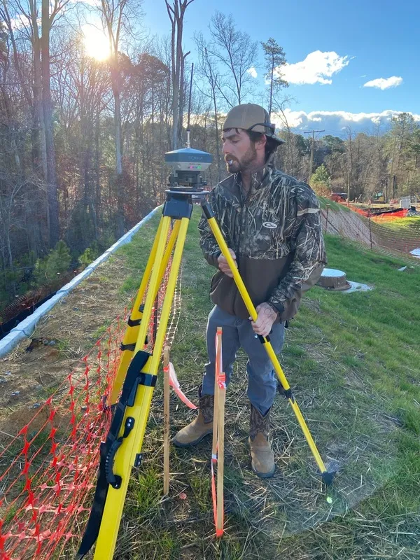
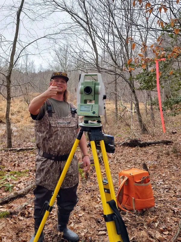
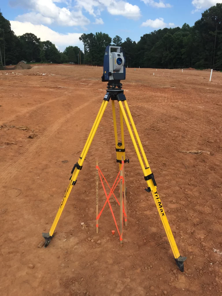
Construction
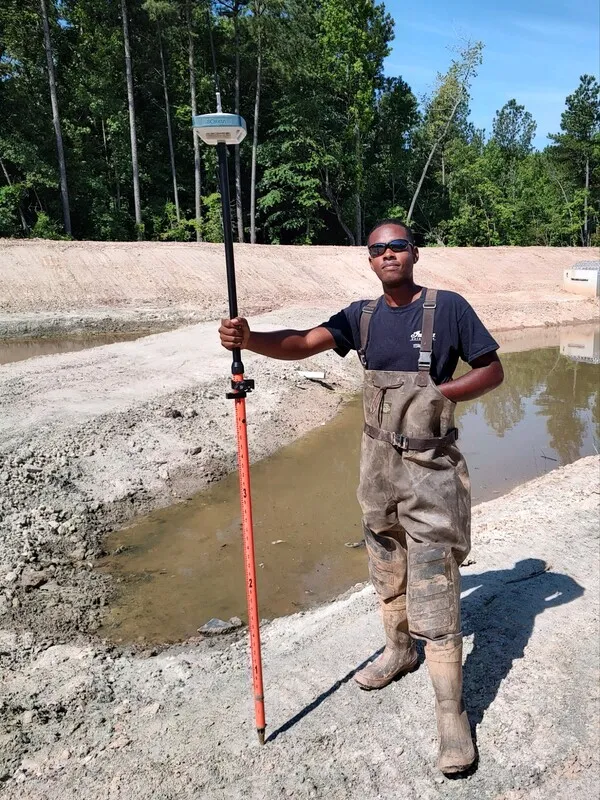
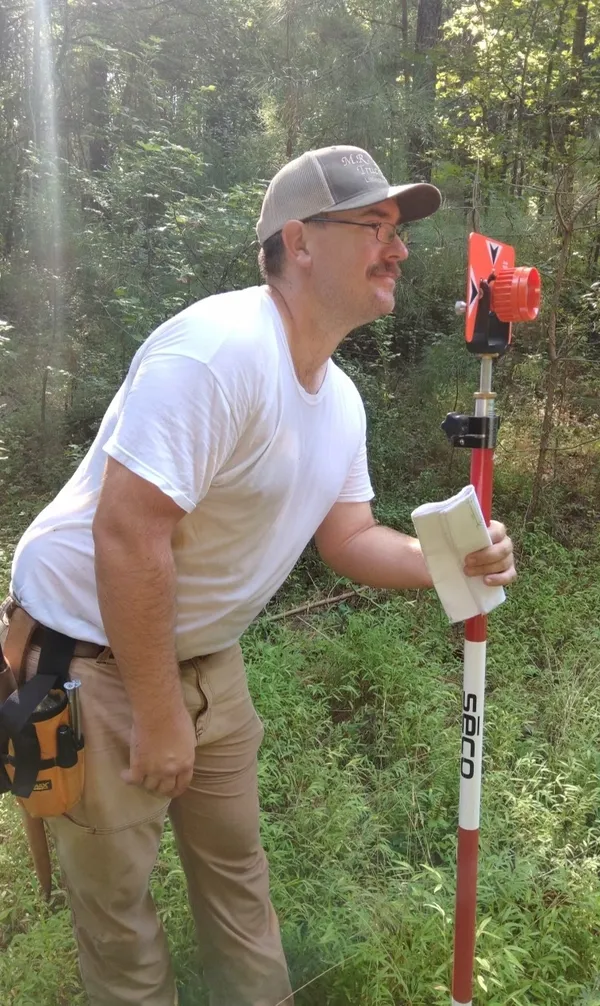
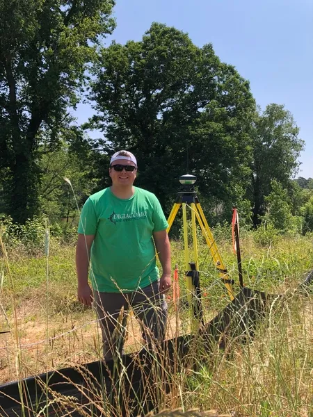
Staking
Boundaries, erosion, topo’s, grade staking, structures & utilities, buildings, trails, sidewalks, curbs, pavement, and final as-builts.
2
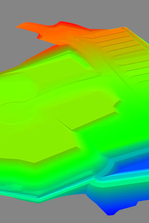
3D
Modeling
We build 3D models for Topcon, Leica, and Trimble. Models include: surface finish grade, mass grading, erosion controls, and pipe networks.
4
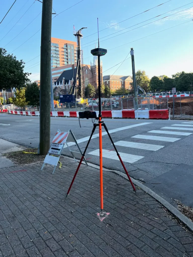
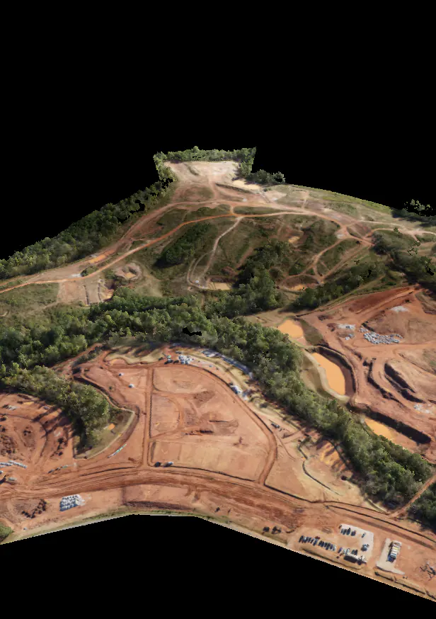
Drone
Topo's
Drone topo services include CAD and photo deliverables plus an online cloud platform for further analysis of the construction site.
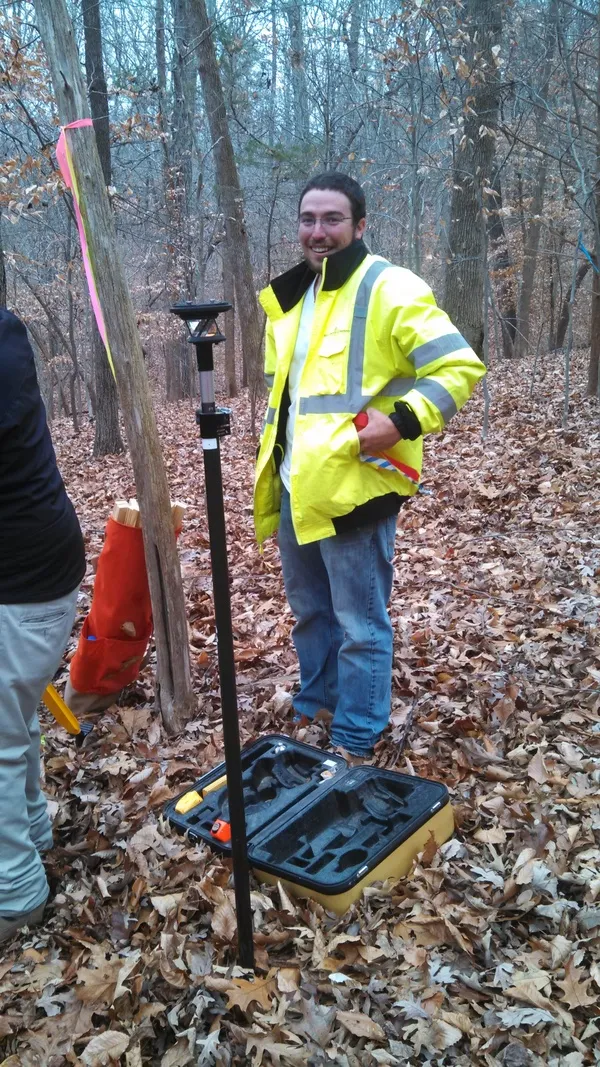
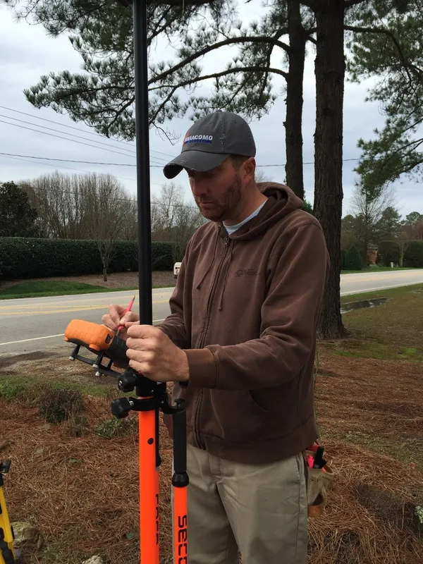
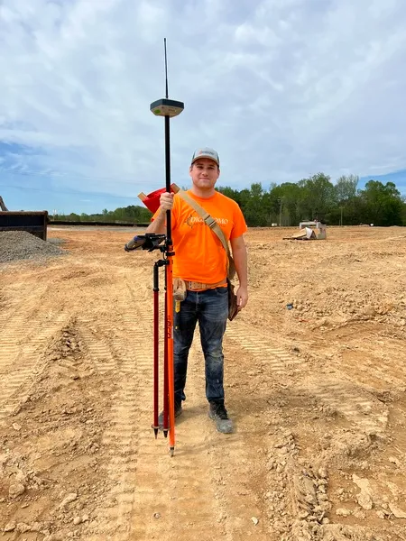
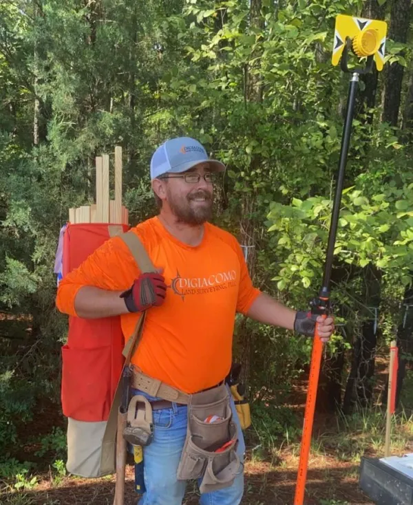
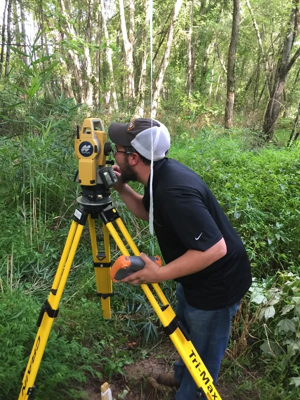
Surveying since 1998 in Southwest Florida, and licensed in the state of North Carolina since 2011, we strive to serve all your construction surveying needs in a professional and dependable manner.
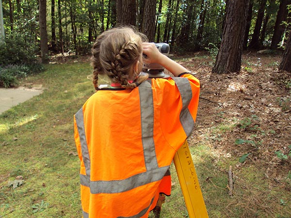
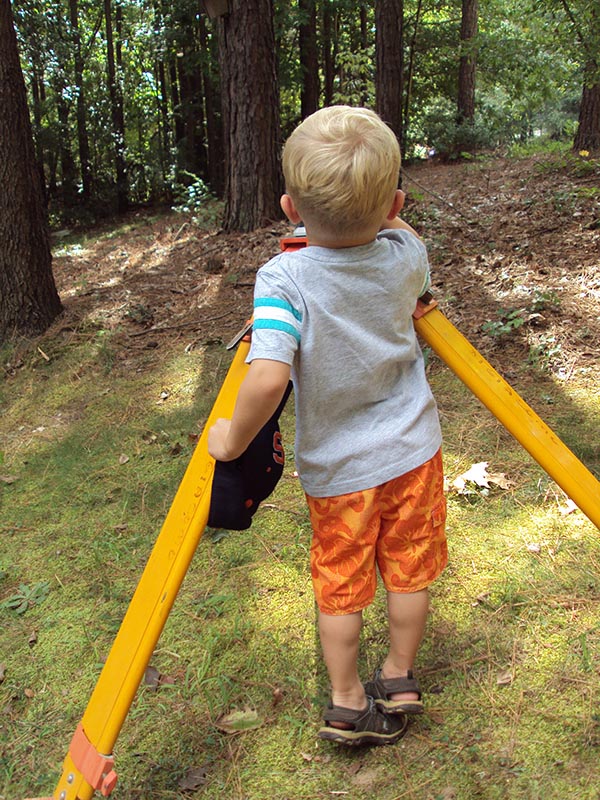

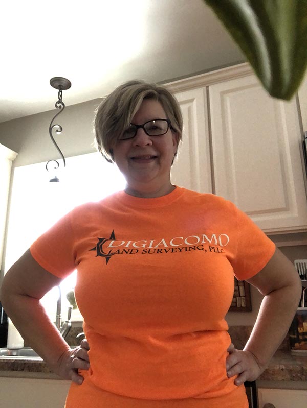

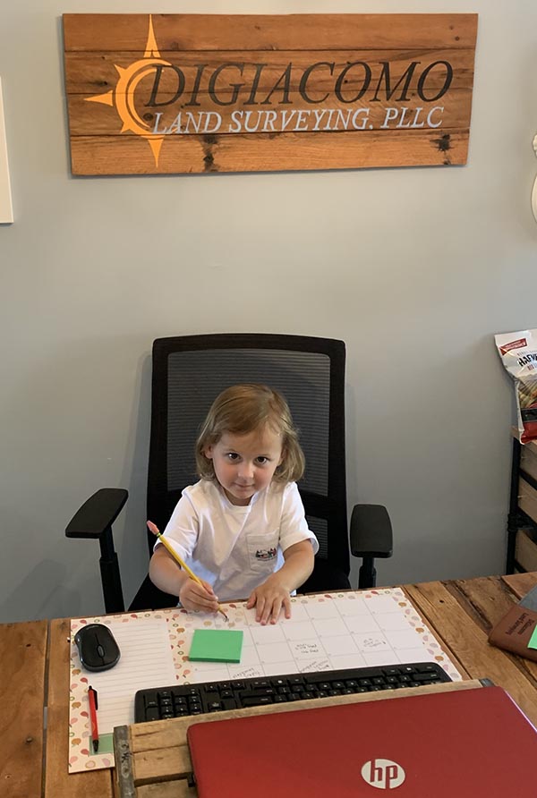
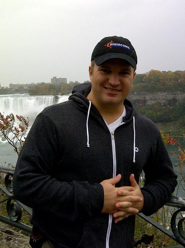
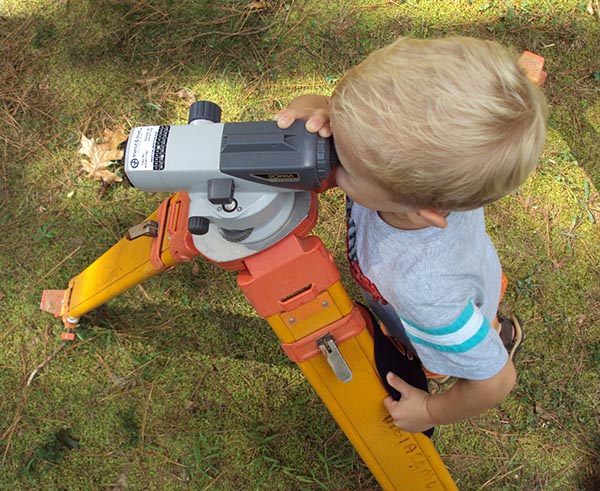
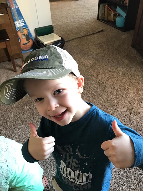


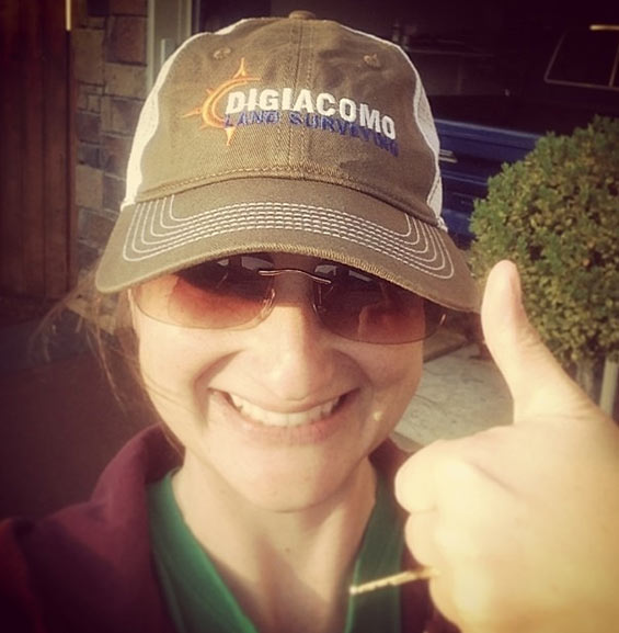
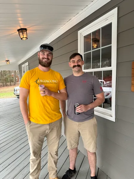
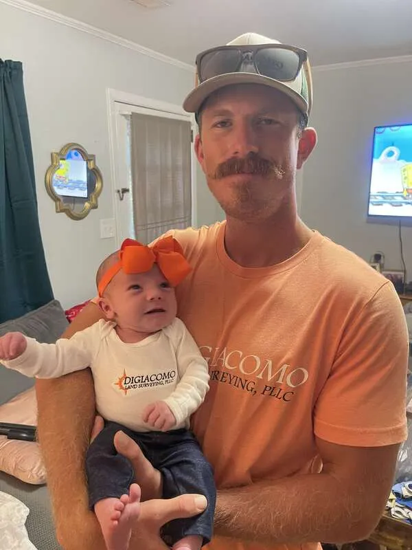
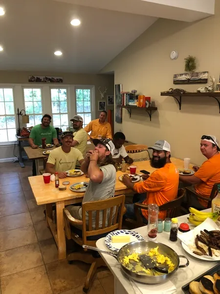
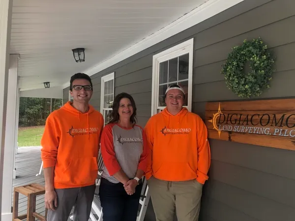
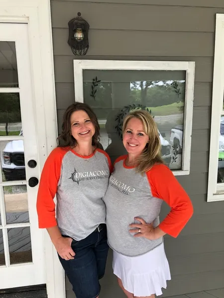
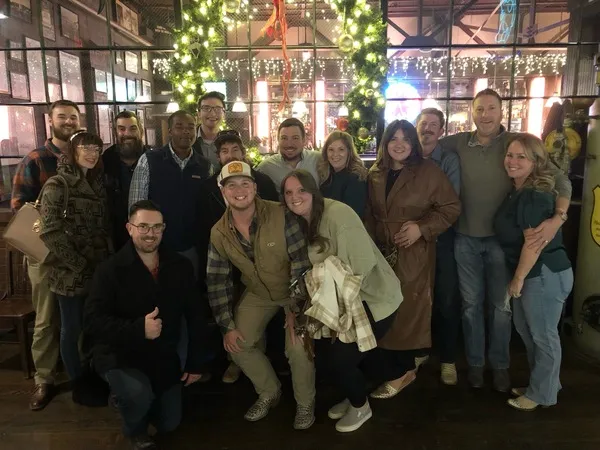
See The DiGiacomo Friends & Family Club!